Our drones and high-resolution cameras provide our clients the ability to make well-informed decisions, remotely.
We are a trusted drone operator in Australia, for both onshore and offshore inspections. We always focus on safety and efficiency, delivering quicker and smarter results.
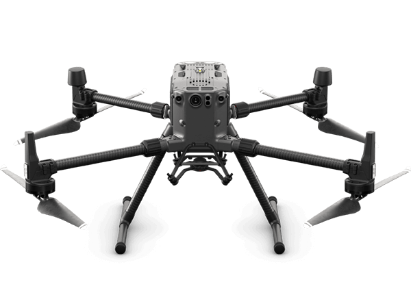
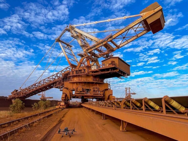
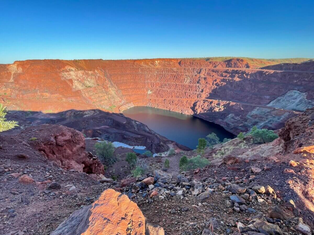
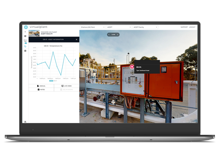
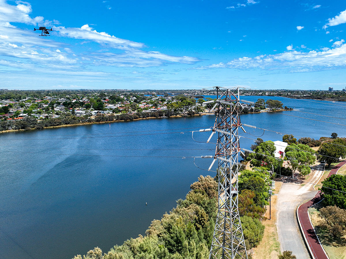
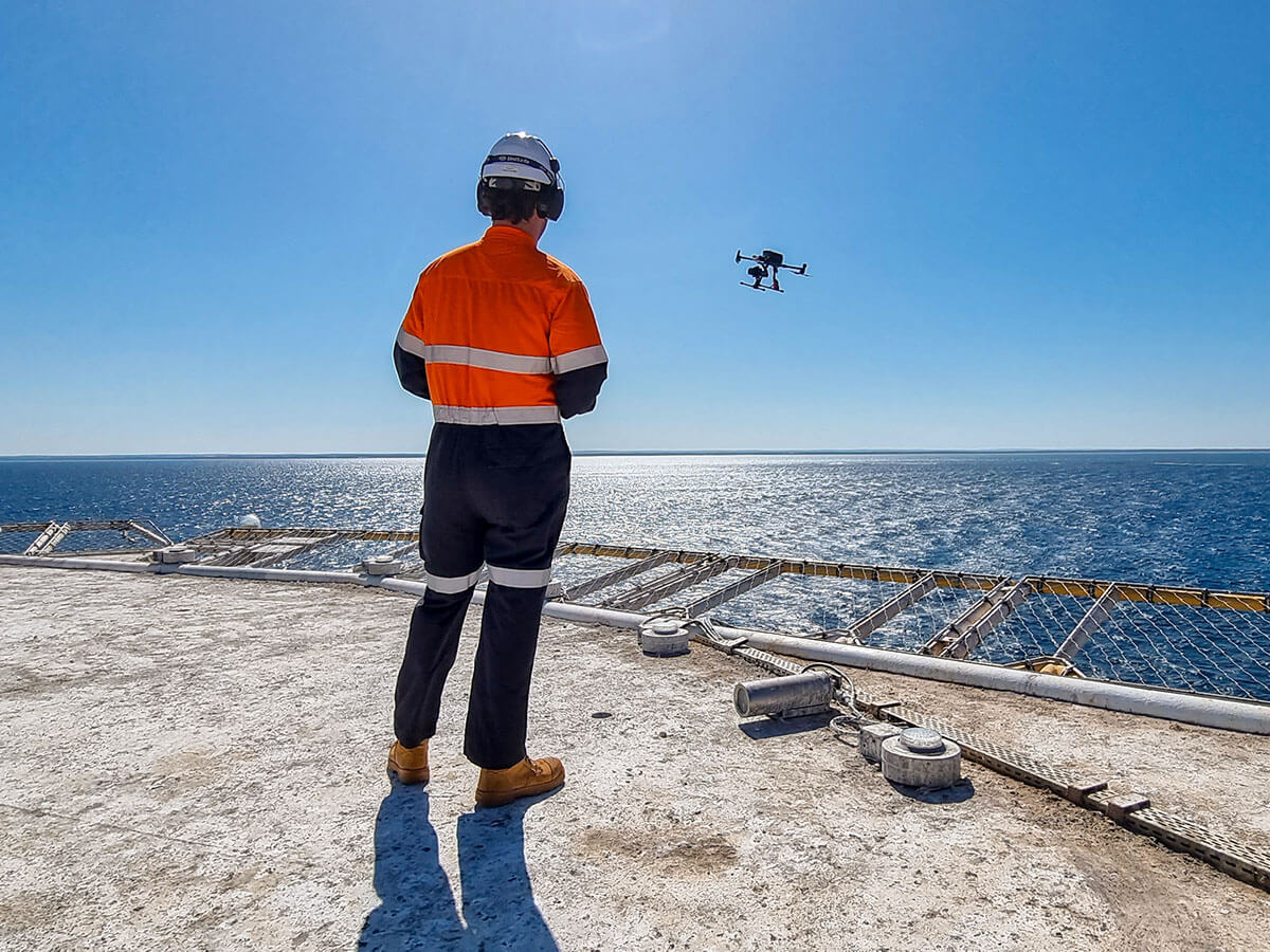
We provide time-critical asset inspection on active sites, capturing images and videos to assess maintenance needs. Using the M300 RPA with high-quality cameras, our experienced pilots deliver efficient and professional data collection. Clients receive images/videos or a comprehensive 3D virtual model.
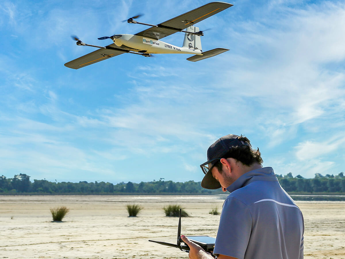
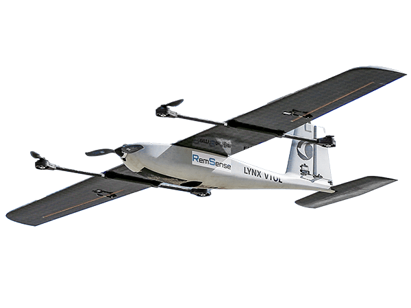
We provide aerial survey services for medium to larger areas, offering a range of data outputs like ortho-mosaic, DSM, DTM, and volumes.
Using advanced technology such as VTOL drones and ground control points, we ensure accurate and efficient results. Our clients include civil works contractors, developers, mining companies, farmers, and civil planners.
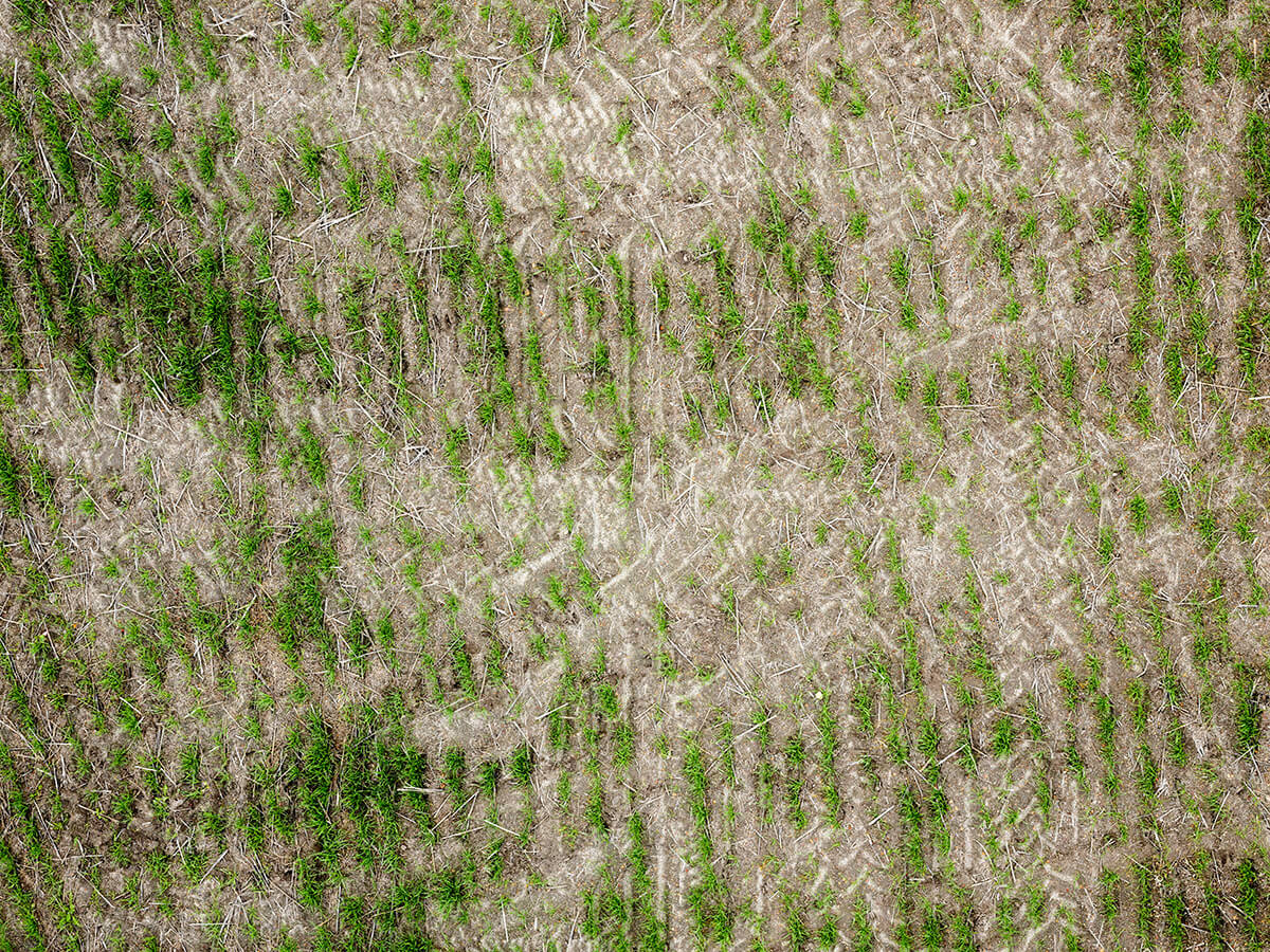
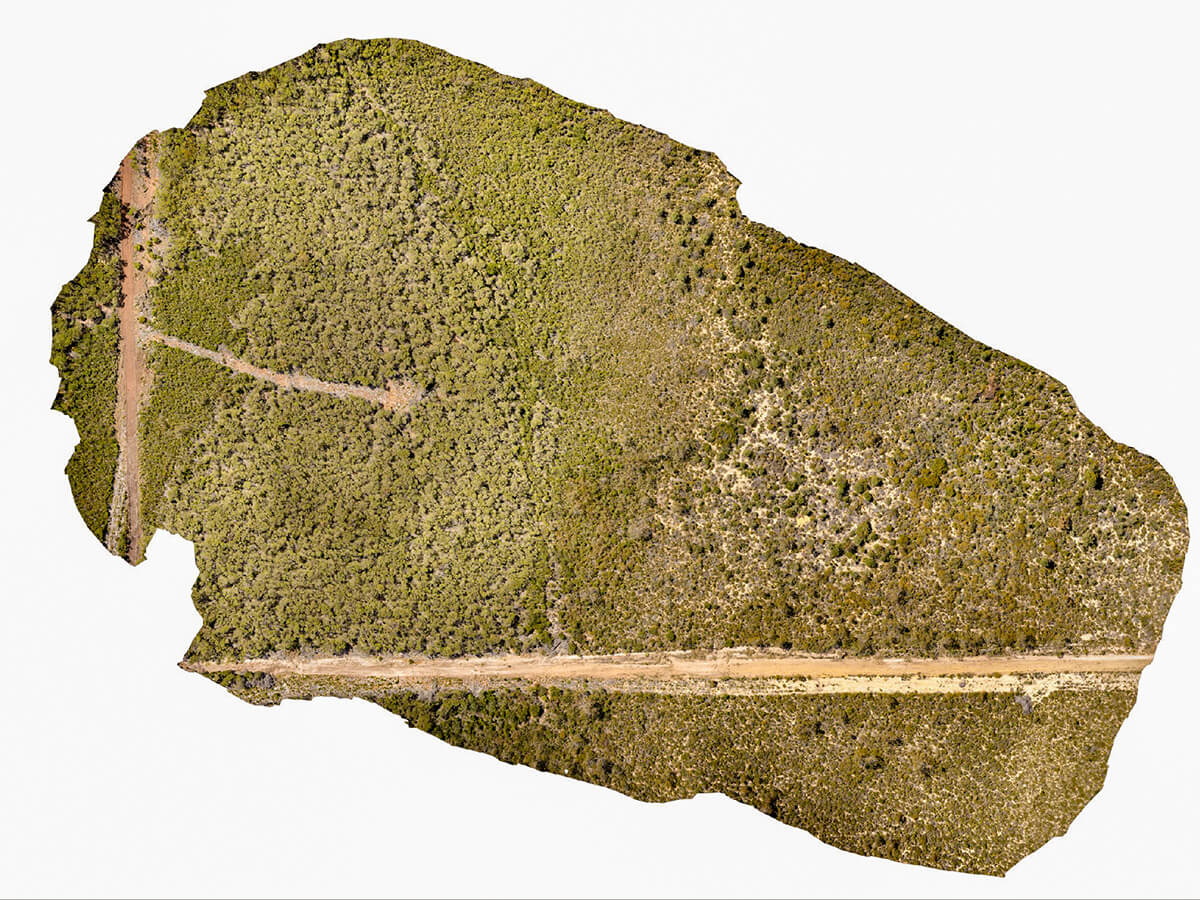
We provide images to identify and categorise vegetation spices you with essential tools for understanding, managing, and protecting the natural ecosystems. We support sustainable development practices, conservation efforts, and informed decision-making for healthier and more sustainable operations.
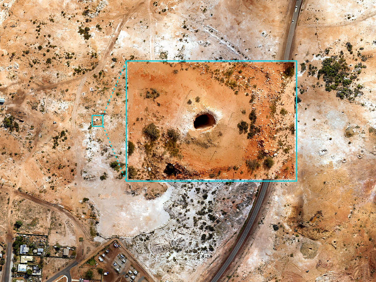
Our expertise lies in conducting environmental surveys using drone technology. We specialise in identifying foreign or non-native elements such as fire ants, mine shafts or other specific. By leveraging drones, we are able to efficiently and effectively survey vast areas, providing valuable insights for environmental assessments and management.
You will receive images or comprehensive package including a 3D virtual model and inspection report. Our advanced equipment, like the DJI M300 drone with high-resolution cameras, ensures top-quality visuals. Factors like access, weather, and structure characteristics guide our approach. Ideal for inspectors and facility management seeking accurate information.
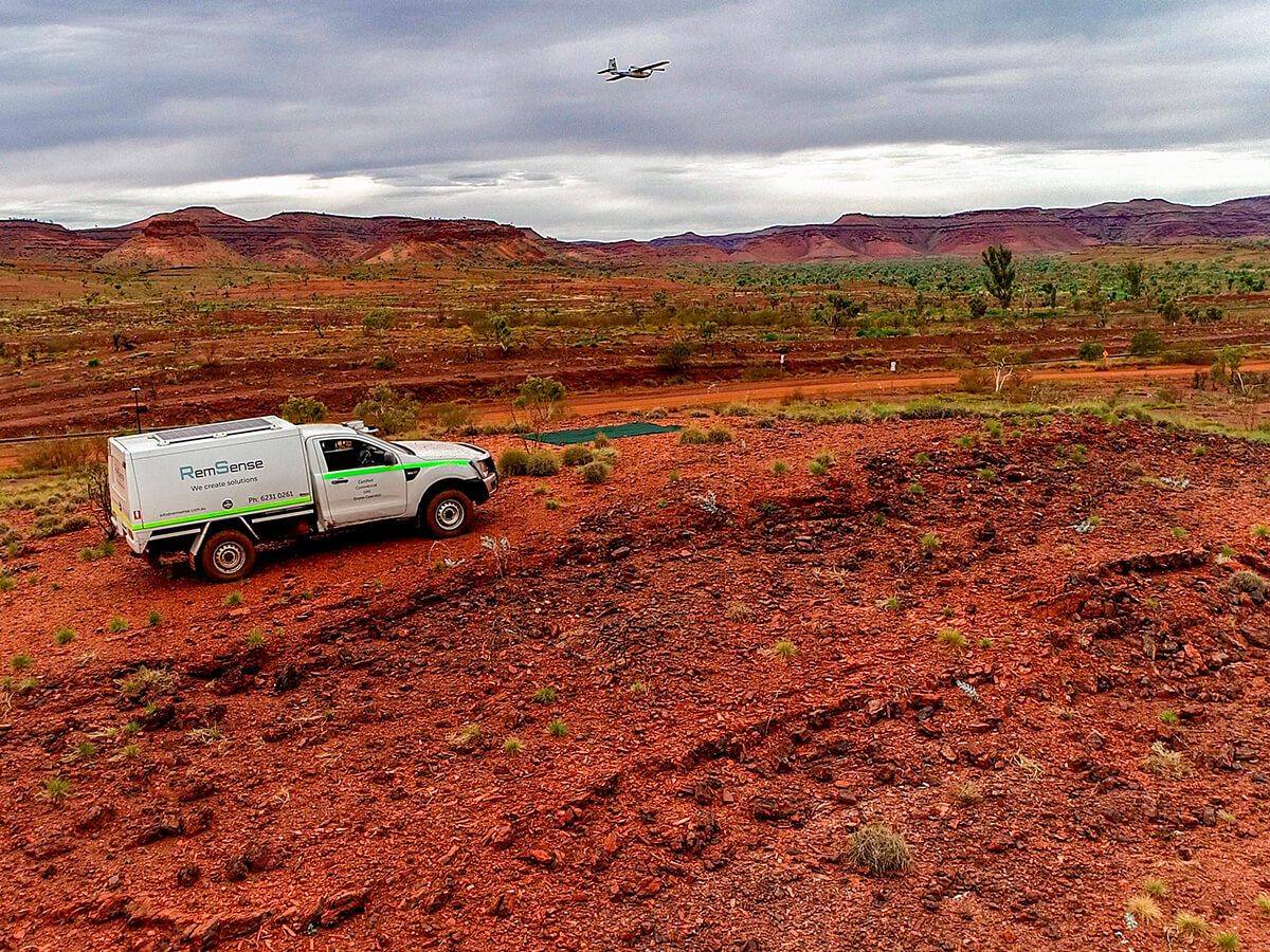
Our services include providing geo-referenced flight lines and data captured by the MagArrow magnetometer. Our flight plans incorporate precise terrain following, cross-referencing with magnetometer flight data. Our services are sought after by exploration companies, mineral-mining resources, and archaeology exploration endeavours.
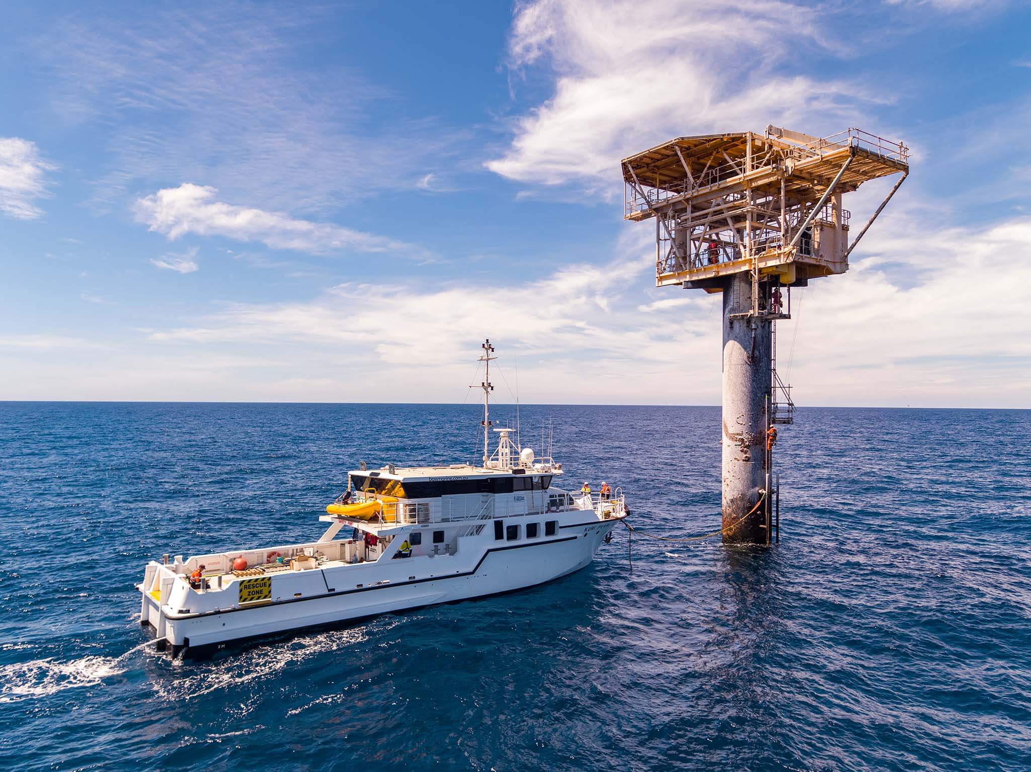
We collect water quality data at different depths using advanced drones. Our pilots are fully certified and can capture up to six two-liter samples in a single flight. Our services are valuable for water management, site management, and environmental monitoring.
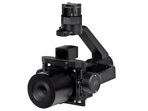
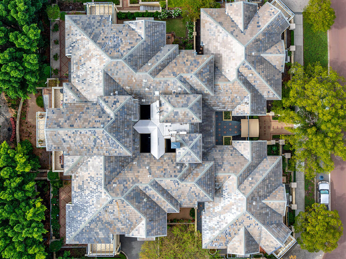
We use the best-in-class Phase One iXM 100MP camera mounted on drones to capture stunning, high-quality images.
Our video capture utilises the DJI P1 camera with 4K resolution at 60fps.
Our clients include graphics/render companies, advertising agencies, PR firms, and the tourism industry.
We provide 24/7 RPAS capability to respond to oil spills onshore and offshore. Our services include aerial surveillance, monitoring, and mapping of oil slick movement.
We assess the impact on beaches, wildlife, and the environment using multi-rotor and VTOL RPAs with RGB and gas sniffer sensors. Clients include gas and oil companies, as well as oil spill response emergency providers.
At RemSense, we strive to enhance every aspect of your operations by leveraging cutting-edge technologies.
We elevate and refine existing surveying and inspection techniques with the latest drone solutions.
By reducing the need to work at heights, within confined spaces or in hazardous environments.
Capture and process data from large areas or inspect difficult to reach structures far quicker than traditional methods.
Autonomous and semi-autonomous tools, paried with machine learning and powerful AI to generate richer, easier to use and interpret data sets.
This drone is an industrial workhorse, capable to heavy lift up to 15kg payload and 55 minutes flight time.
Offering up to 30 minutes of flight time, advanced AI capabilities, 6 directional sensing & positioning and more, the M300 RTK sets a whole new standard by combining intelligence with high performance and unrivalled reliability.
The iXM’s large-area sensor delivers a close-and-detailed look at all an object’s parts. The camera is robust too, designed for use in temperatures ranging from -10° C to 40° C, up to 80 percent humidity and can operate in a wide range of flight altitudes.
Lynx VTOL is a vertical take-off and landing VTOL drone for mapping that combines the ease-of-use of a multicopter with a long two-hour endurance.
We support multiple industry sectors on projects of all scales.
Our team leverages cross-sector knowledge to solve any problems, developing fit-for-purpose offerings to ensure you get the maximum value and efficiency from your operations.
years in the industry
completed jobs
operational hours
We successfully tackled a complex water sampling project for an environmental team working in decommissioned mine sites. The client required accurate water sampling from the bottom of a nonoperational pit at various depth intervals to monitor water conditions and identify potential environmental impacts.
RemSense developed two innovative devices: an active payload safety release device for emergencies or snagging situations and a remote sensing and winching system to accommodate increasing water depths. We manufactured custom components in-house within a tight timeline of 2 weeks, overcoming supply chain disruptions caused by COVID-19.
The integrated payload winch and flight control radar allowed precise water sampling at different depths, ensuring consistent and reputable data capture. RemSense’s solution demonstrated our technological uniqueness, agility, and commitment to meeting client goals. This case study exemplifies their expertise in drone technology and their ability to deliver exceptional results in challenging environments.
Simply leave a few details and our team will be in touch to arrange a guided tour of
This website uses cookies to ensure you get the best experience on our site. To find out more read our privacy policy.