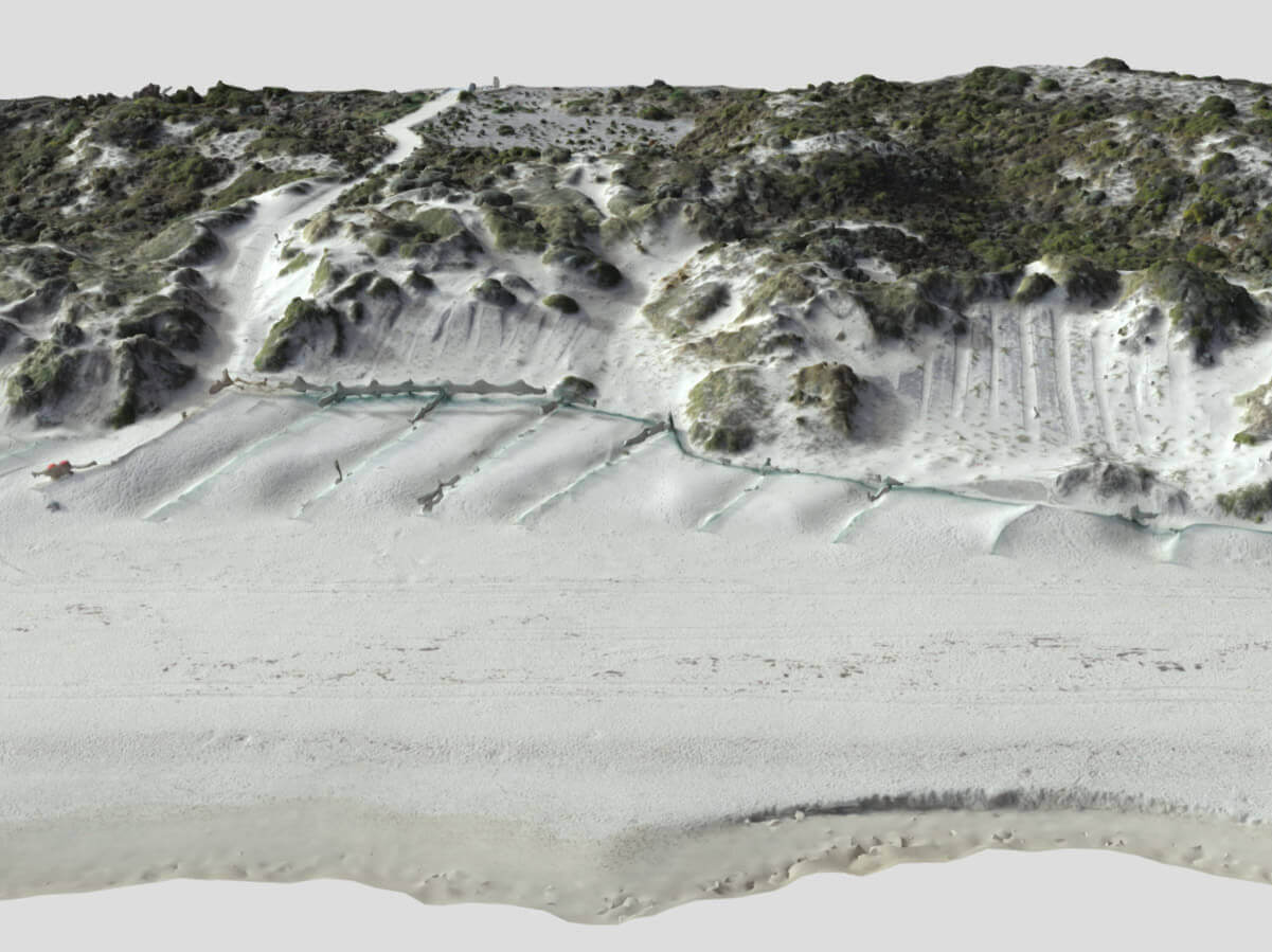
The Town of Cambridge manages a 4.5 km stretch of coastline, including the longest continuous area of natural coastal vegetation in the Perth metro region. Floreat Beach, characterized by wave-dominated shores, faces significant coastal dune erosion, leading to its designation as a Coastal Erosion Hotspot by the Western Australia Government. As per the government’s recommendation, there was a need to “Collect information on local coastal dynamics to better understand sand movement, landform stability, and shoreline response at a hotspot-specific scale.”
The project’s central objective was to ground-truth sand movement, accurately documenting erosion or accretion trends, and assessing the effectiveness of dune stabilization treatments. It aimed to provide valuable insights into the impact of these treatments and offer precise monitoring and mapping of dynamic elements such as dune stability, vegetation cover, and human impact on the coastal environment.
key challenges
The project presented a series of unique challenges.
The coastal environment’s sensitivity, coupled with the dynamic forces of nature, made data collection a complex task.
Unpredictable sand movement and the ever-shifting stability of landforms added to the complexity of the mission. The urgency of addressing coastal dune erosion emphasized the need for data-driven solutions.
Our Solution
To address the challenges, RemSense proposed a comprehensive solution, leveraging advanced drone technology:
High-Resolution Drone-Based Survey: Employing state-of-the-art drones, including the DJI M600 with PPK GPS, equipped with a high-quality SONY A7RII 42MP camera, the project conducted a drone-based survey to capture the coastal environment in remarkable detail. This approach provided the precision needed to monitor and analyze sand movement, vegetation cover, and other dynamic elements.
Geo-Tagging for Precision: The imagery collected was geo-tagged, allowing for swift and precise identification of points of interest, corrosion, and defects. This streamlined the process of issuing work orders for further visual inspections or rectification, enhancing the efficiency of coastal management.
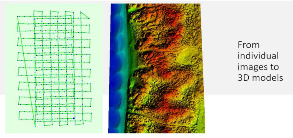
Flights were programmed to be fully autonomous at an altitude of 60 m AGL, travelling at 9m/sec, allowing the flights to be replicated to provide consistent data capture.
Results
The adoption of a drone-based survey and mapping system over traditional land-based methods yielded impressive results:
Significant Time Savings: This approach significantly reduced the time required for data collection, facilitating a more efficient and timely assessment of coastal dynamics.
Enhanced Data Richness: The high-resolution imagery and geo-tagging provided a richer, more detailed dataset. These outputs enabled a range of documentation, analysis, and visualization methods for understanding natural sand movement, the impact of treatment measures, vegetation success rates, and the consequences of uncontrolled public access.
Comprehensive Data Outputs: The project produced an array of data outputs, including:
LAS files presented as densified point clouds and 2.5D digital surface models for use with spatial software such as QGIS and Cloud Compare.
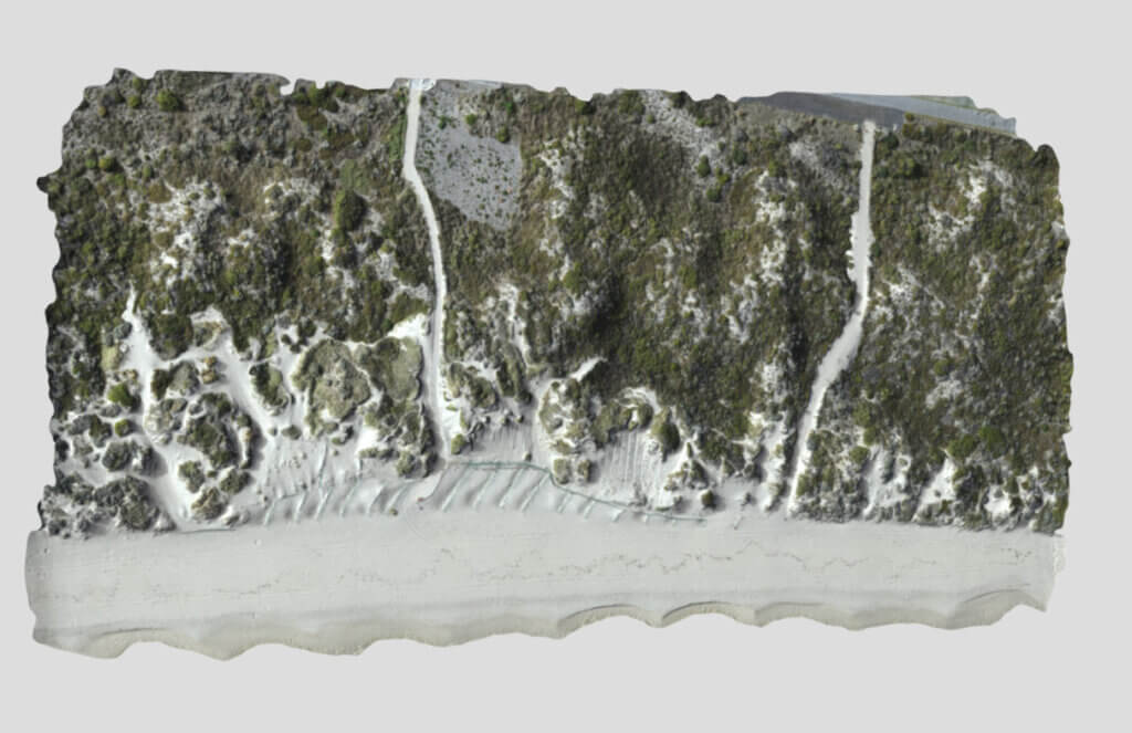
Geotiff files presented as digital terrain models and orthomosaics for viewing in QGIS and ER Viewer.
Contour lines in shape files, suitable for viewing in any GIS software.
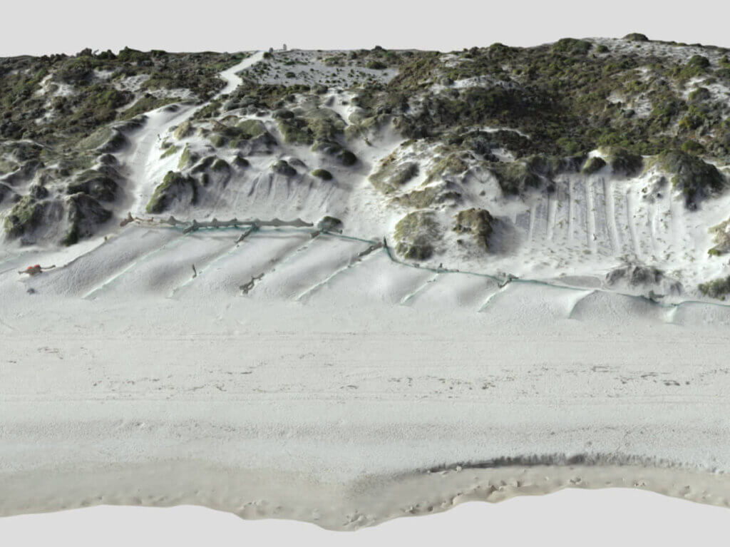
3D triangle mesh files for visualization on platforms like Sketchfab.
HTML and KML files enabling orthomosaics to be viewed in Google Maps and Google Earth, respectively.
Analysis of sand volume movement (cubic meters) per unit of area (square meter) and green index (vegetation) analysis.
The project’s monitoring trial spanned 12 months and encompassed four aerial surveys capturing seasonal variations from spring (2018) through summer, autumn, and winter of 2019. This comprehensive approach resulted in a rich and detailed dataset, enabling robust documentation and analysis of coastal dynamics and the effectiveness of dune stabilization treatments.