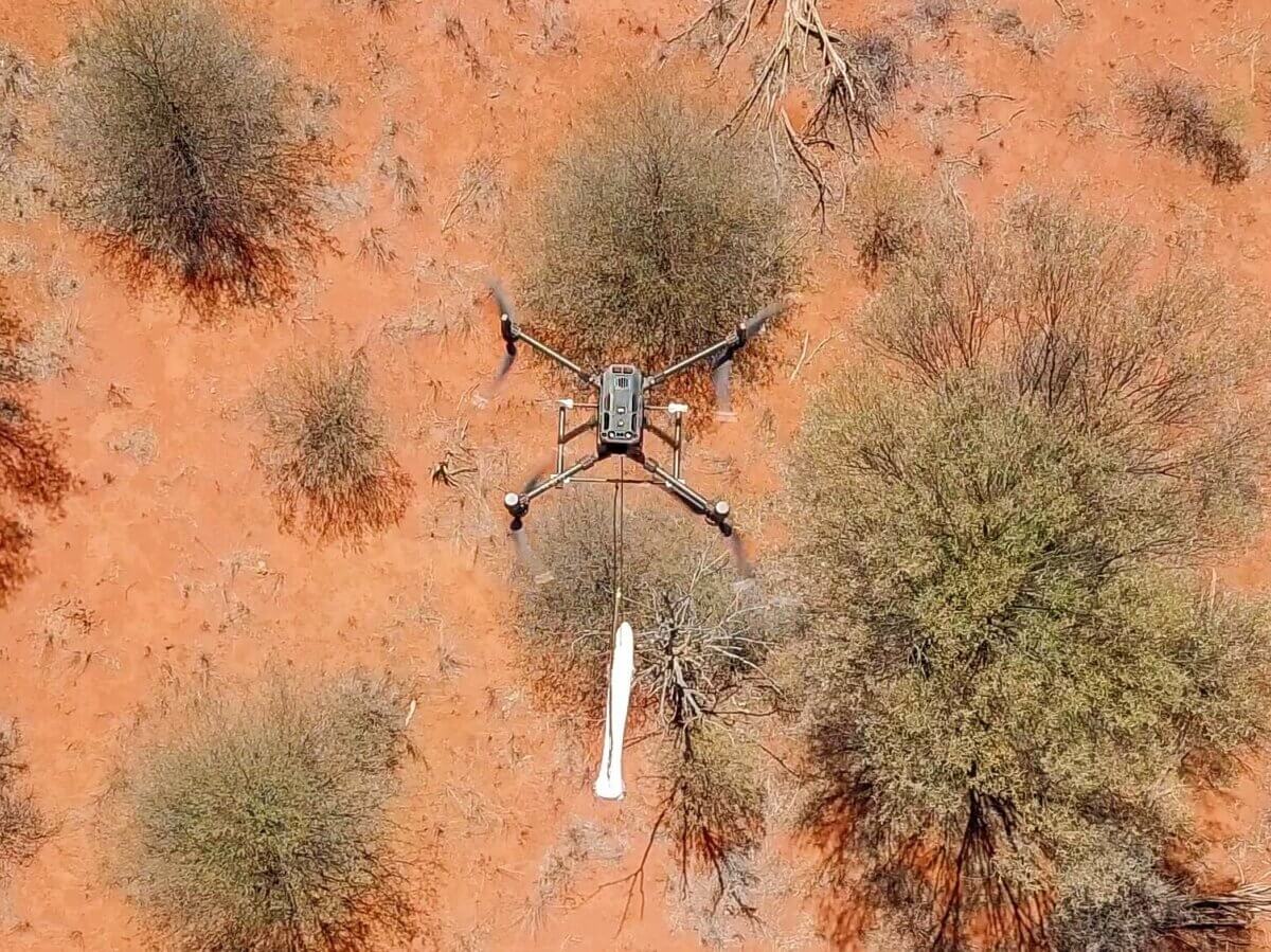
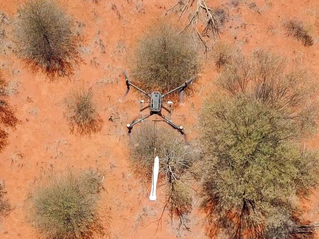
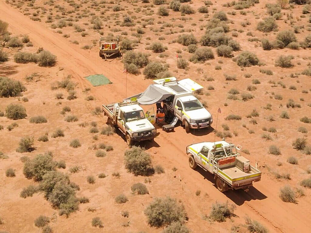
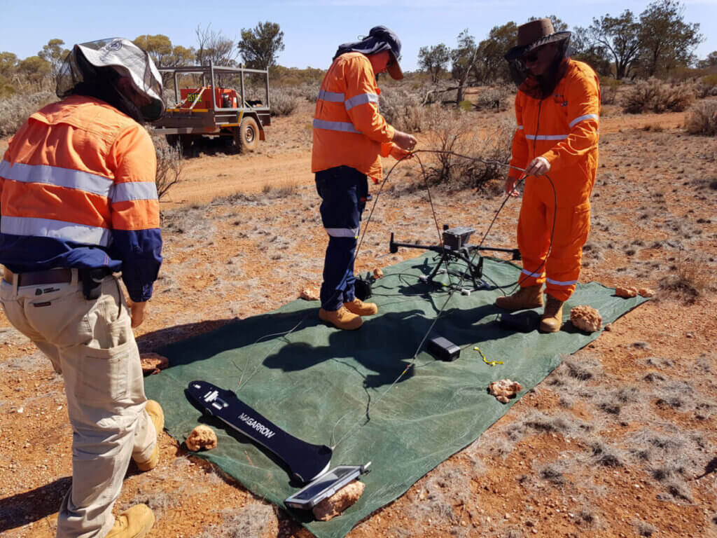
RemSense collaborated with one of the world’s largest gold producers to support the identification of potential gold deposits in Western Australia. Traditional survey methods, including light aircraft, ground vehicles, and on-foot exploration, were unsuitable for the demanding and remote locations required for gold deposit assessment. The client turned to RemSense to explore the feasibility of conducting a magnetometry survey using drone technology, seeking a more accurate, efficient, and cost-effective approach.
key challenges
Conducting a magnetometry survey using drones presented several critical challenges. To make the drone-based survey feasible, it had to outperform the existing methods in terms of accuracy, time efficiency, and cost-effectiveness. Key challenges included:
Minimizing Signal Noise: To ensure the reliability of the survey data, it was imperative to reduce signal noise caused by both the drone and the swinging motion of the magnetometer suspended beneath it.
Stable Drone Platform: Selecting the right combination of a drone platform and magnetometer suspension system was essential. The chosen platform needed to emit low electromagnetic field (EMF) emissions, operate safely in close proximity to the ground, and endure extended operations in harsh environmental conditions.
Trial and Refinement: Extensive testing and trials were carried out to identify a stable drone platform with low EMF emissions and suspension systems that struck a balance between stability and ease of field deployment. Continuous refinement of flight profiles, drone systems, and suspension technology was required.
Our Solution
RemSense’s solution focused on addressing the identified challenges by meticulously selecting and optimizing the technology for magnetometry surveys. The critical elements of the solution included:
Drone Platform Selection: Identifying a drone platform with low EMF emissions and the capability to fly safely near the ground in rugged environments for extended durations.
Suspension System: Testing multiple suspension systems to find the right balance between stability and ease of deployment, ensuring the minimization of signal noise.
Technical Feasibility: Conducting initial trials in a metropolitan area to validate the technical feasibility of the drone-based magnetometry survey. This phase allowed for refining drone platform, suspension systems, and flight operations.
Results
The project’s results demonstrate the successful implementation of the drone-based magnetometry survey:
Initial Trials: Initial trials were conducted in a metropolitan area, confirming the technical feasibility of the drone-based survey. These trials also contributed to refining the drone platform, suspension systems, and operational procedures.
Extensive Survey Coverage: Over 800 flights have been completed, successfully surveying an area spanning more than 600 square kilometers. Furthermore, plans are in place for additional surveys, reflecting the ongoing success of the drone-based approach.
RemSense’s drone technology has provided an accurate, efficient, and cost-effective solution for magnetometry surveys in remote and challenging terrains, enabling the identification of potential gold deposits in Western Australia.