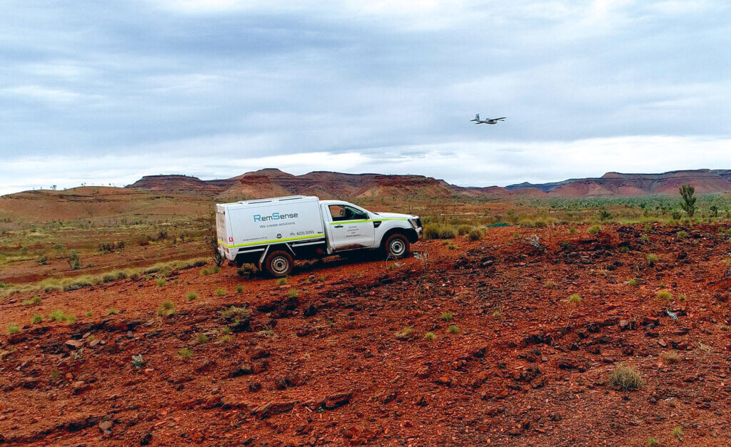
Main Roads WA and contractor Cardno undertook an assessment of topographical conditions for a proposed new 100km road in the remote Hammersley Ranges, more than 1,000km from Perth.
The goal was to fully understand the terrain and estimate the volume of material required to be moved for the road corridor.
key challenges
Remote and Hazardous Terrain:
The survey area’s isolation, rugged landscape, and extreme heat made traditional surveying dangerous and logistically challenging.
Safety Risks:
On-foot surveying would have exposed crews to significant risks, from harsh environmental conditions to potential equipment failure in high temperatures.
Our Solution
RemSense delivered a two-pronged aerial survey approach:
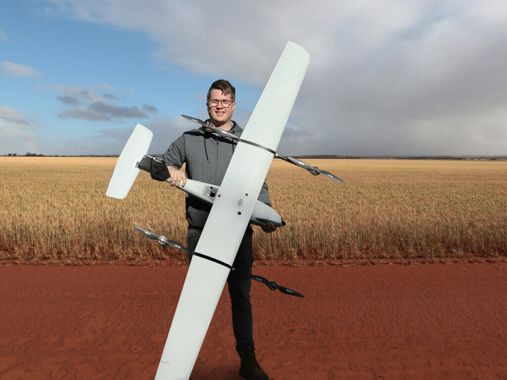
Lynx VTOL Fixed-Wing Drone: covered over 2,000 linear kilometres, capturing 79,000 overlapping, high-definition images.
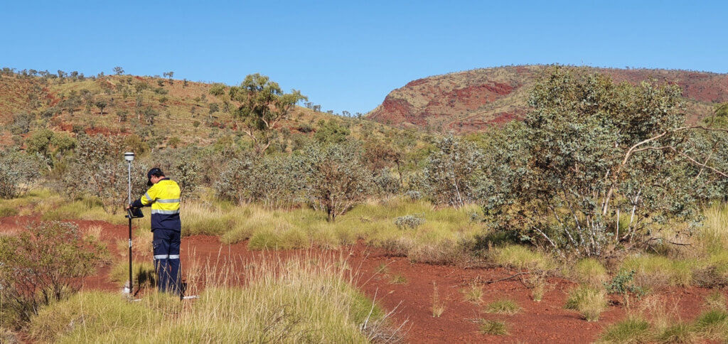
Trimble R2 GNSSReceiver: used alongside the drone to ensure centimetre-level accuracy.
Multirotor Drone with 4K Camera: captured a video fly-through of the full route for visual inspection and planning.
This combination provided both precise topographical mapping and a clear visual reference for the project team.
Results
Surveyed 73 square kilometres of terrain within a corridor 300-400m wide
Produced highly accurate 3D orthomosaics, DEMs (Digital Elevation Models), and colourised point clouds, with a ground sampling distance (GSD) of 2-3cm.
Significantly faster than on-foot methods, with vastly more data points for improved decision-making
Enhanced safety by eliminating the need for ground teams in hazardous conditions
By leveraging advanced UAV systems, RemSense transformed what would have been a dangerous and resource-heavy ground survey into a safe, fast, and data-rich aerial operation. The technology provided exceptional mapping accuracy, enabling precise volumetric calculations and better-informed construction decisions for the remote road project.