RemSense delivers aerial and terrestrial imaging solutions that bring measurable benefits to the construction and property maintenance industries.
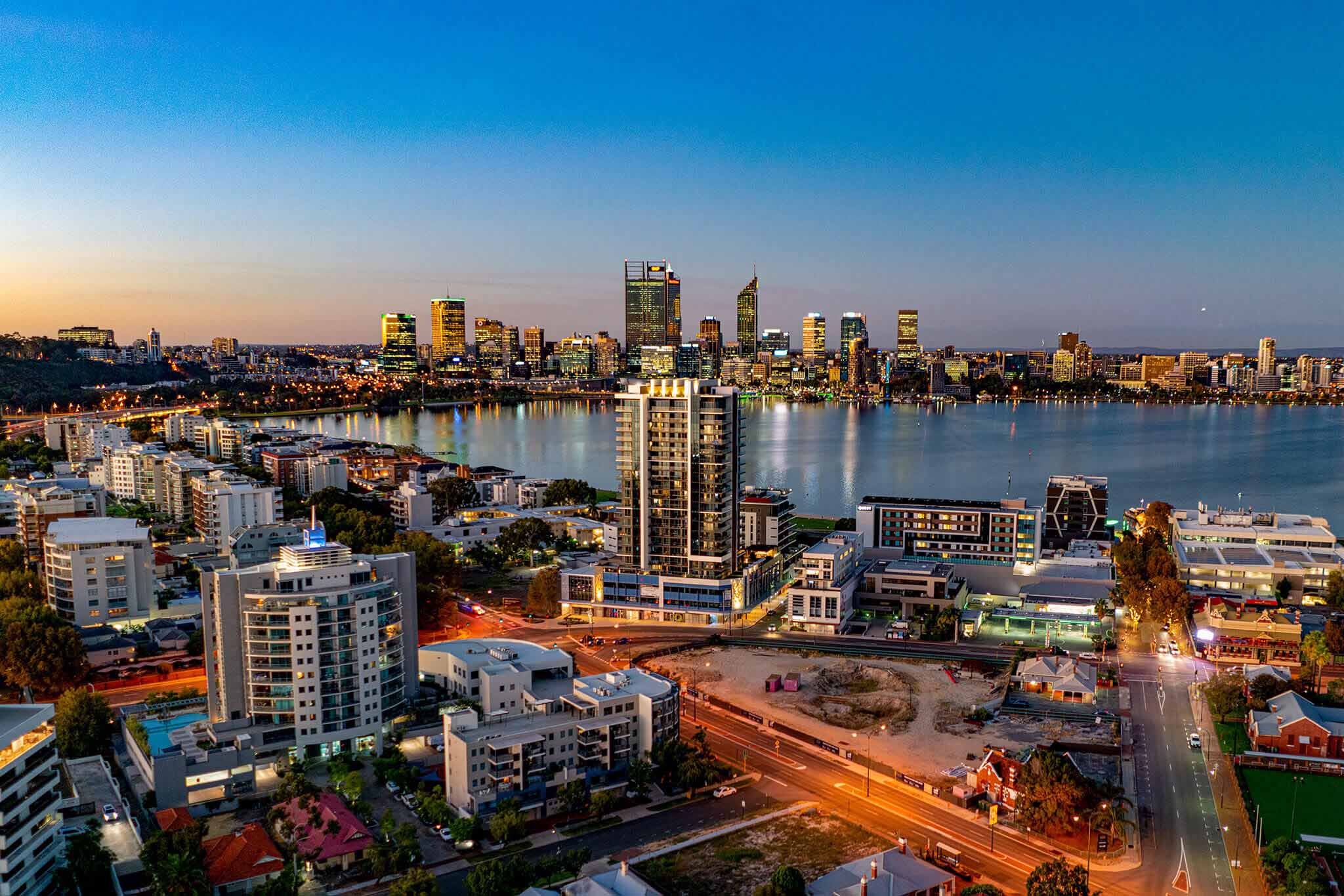
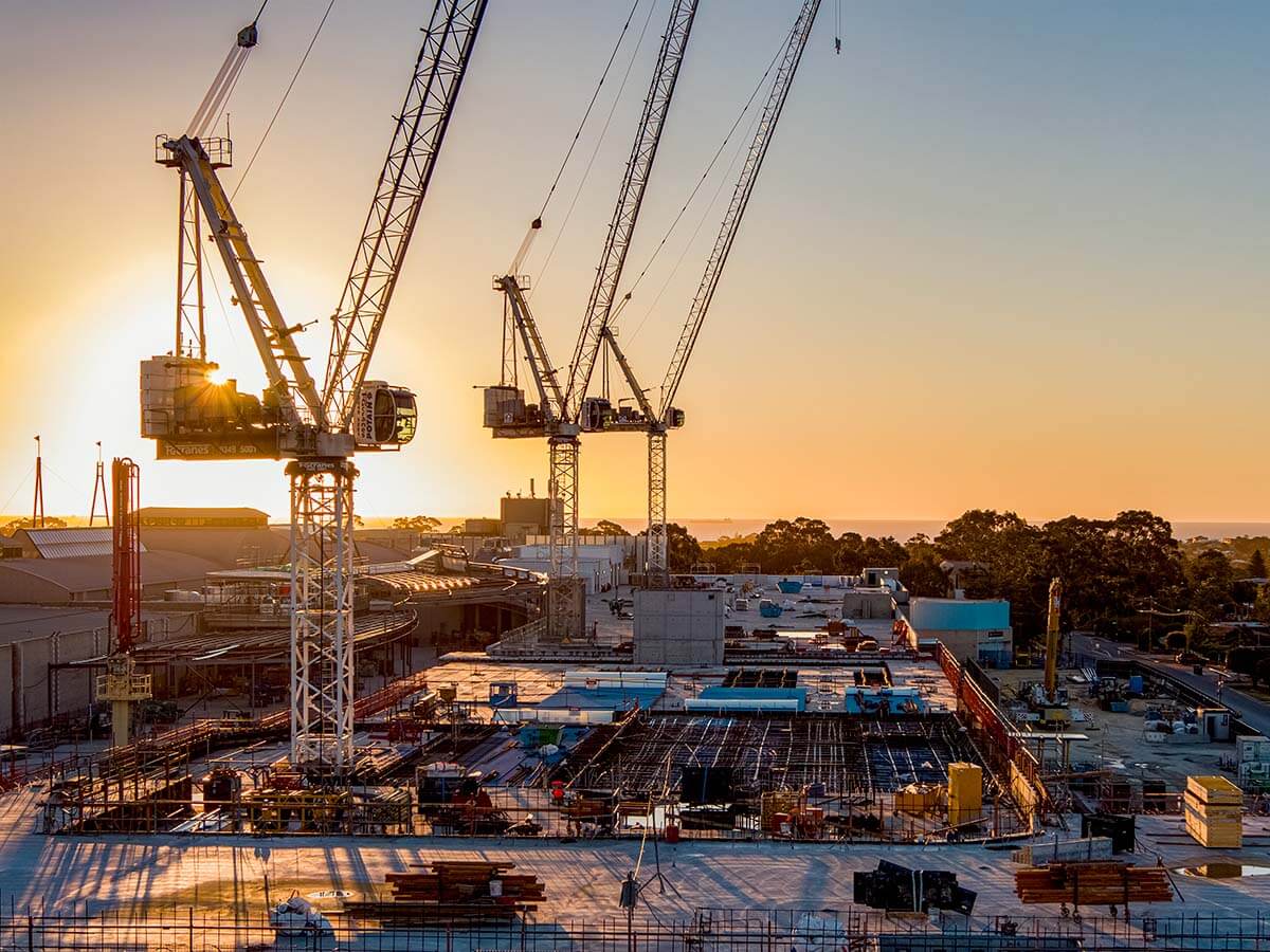
Our drone and imaging technology provides a complete overhead view of jobsites, materials, machinery and people. High-quality imagery and video help teams optimise grading plans, monitor progress, and identify differences between as-designed and as-built site plans.
We also create accurate 3D models, surveys, and maps, providing valuable insights for project managers, engineers, and stakeholders.
For asset management and facilities inspection, our solutions allow trades, inspectors, and engineers to safely assess facades, rooftops, and other hard to reach areas, without rope access or EWP’s. This reduces risk, saves time, and keeps your team focused on high-value work.
Proven results in construction
Since 2019, we’ve been developing advanced visual technologies that help industries work smarter. Our virtualplant platform, first created in collaboration with Woodside Energy, now supports construction clients in planning, monitoring, and maintaining sites with greater accuracy and safety.
We’ve completed extensive roof and facade inspections across warehouses, hospitals, schools, and residential buildings, helping clients identify issues early, reduce access risks, and keep projects in schedule.
With decades of combined experience and thousands of successful scans, our team understands how to deliver actionable data that supports your project from planning to completion.
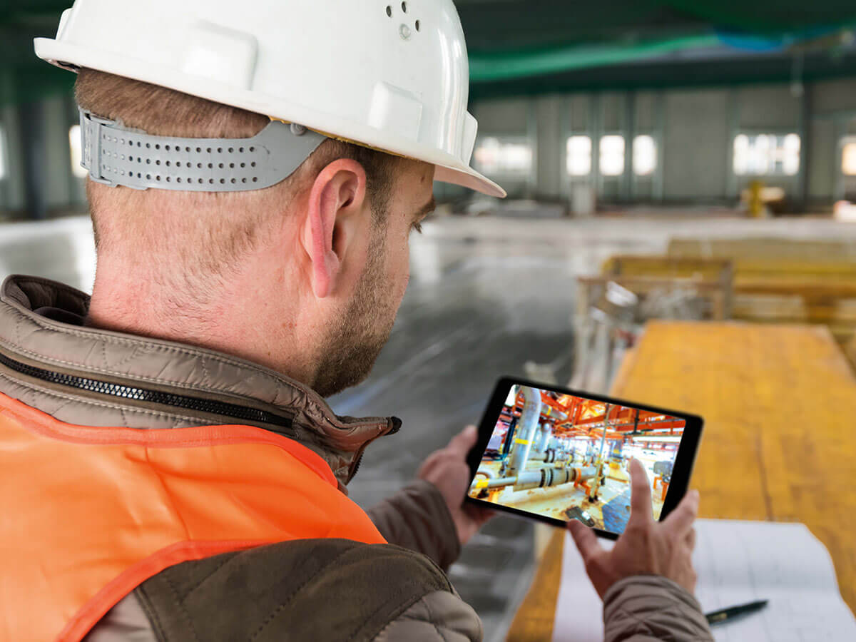
Create a high-resolution, navigable visual twin of your project that allows remote progress checks, inspections, and planning, cutting down the number of people needed on site.
Improve Progress Tracking
Easily compare as-designed plans with current site conditons to spot delays, changes, or issues before they become costly.
Streamline Inspections
Complete detailed roof, facade, and structural inspections remotely, eliminating the need for rope access or elevated work platforms.
Support Contractor Coordination
Give all trades and subcontractors a shared, up-to-date visual reference so they can plan their work more effectively andavoid clashes.
Simplify Training and Inductions
Familiarise new workers with the site layout before they arrive, reducing induction times and improving on-site safety from day one.
Enhance Safety Planning
Identify potential hazards from high-resolution imagery and address tehm before sending crews to site.
When you choose RemSense, you get more than technology – you get a partner who understands your industry, your challenges, and your goals.
We combine cutting-edge innovation with a proven track record in delivering solutions that work in the real world. From our origins in advanced drone operations to becoming a leader in high-resolution visual intelligence, we’ve built our reputation on precision, reliability, and adaptability.
Experience you can Count On
25,00+ operational hours across diverse and challenging environments.
CASA ONS certified, one of the few companies in Australia licensed to fly commercial drones over or near people.
ISO-certified processes that meet strict safety and quality standards.
A publicly listed company on the ASX, ensuring transparency and governance.
Customer Service That Matches Our Tech
Our team manages every stage, from initial scoping to post-delivery support, with professionalism and care. We prioritise clear communication, proactive updates, and rapid problem-solving, so your experience is seamless from start to finish.
A digital twin is a virtual representation of a physical asset, system, or process. When connected to real-time data from IoT devices and enterprise systems, it helps you monitor performance, predict maintenance needs, optimise operations, and make better decisions.
What is a visual twin?
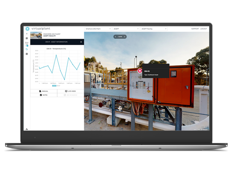
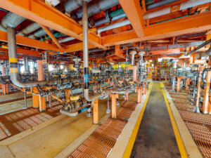
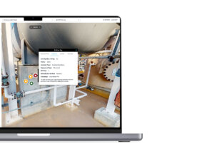
A visual twin, like virtualplant, is a high-resolution photographic capture of your facility that shows the site exactly as it is, not just how it was designed.
Unlike a rendered model built from CAD or BIM drawings, a visual twin lets you explore real-world conditions in detail, down to asset nameplates and equipment labels.
For more detail, see our virtualplant overview page.
What's the difference between virtualplant and traditional digital twins
Traditional digital twins are often rendered models based on design drawings, showing the “as designed” version. Virtualplant captures the actual, real-world condition of your facility in high-resolution imagery, so you see exactly what’s on site today.
How long does it take to go live with virtualplant?
Most facilities are scanned in just a few days, with your platform ready to use in as little as 10 days after scanning, depending on the size and complexity of your site.
Can virtualplant be used on active constructions sites without disrupting work?
Yes, our scans can be completed quickly and safely, even on busy sites, without interrupting construction activities.
How accurate are the measurements taken from a virtualplant scan?
Our high-resolution imagery and modelling deliver precise measurements suitable for progress tracking, planning, and inspections.
Can virtualplant integrate with my existing project management or BIM software?
Yes, we can provide data in formats compatible with common construction adn design tools, including BIM platforms.
Is drone use safe and compliant on construction sites?
We operate under CASA certification and strict safety protocols, ensuring all aerial work meets regulatory requirements.
Can I track changes to the site over time?
Absolutely, we can perform repeat scans at different project stages so you can track progress and compare conditions over time.
Can information be added by the end user?
Typically, users can’t add information directly to virtualplant. However, with Vplanner, an add-on designed for contractors and internal teams, you can create standardised, accurate, and error-free work orders with minimal training.
WE’ve inspected everything from high-rise facades and shopping centres to industrial roos, warehouses, schools, and hospitals.
Is the entire site shown as one complete model?
Virtualplant models are typically organised into modules, rooms, or levels that match the layout of your facility. These spaces are linked through navigation tags, enabling a smooth transition between areas and a seamless virtual walkthrough of your entire site.
Our aerial models can capture and present your entire facility as one complete, navigable environment.
How secure is my facility data?
We use enterprise-grade security measures and host your virtualplant platform in the cloud. Access can be controlled via SSO (Single Sign-On) for added protection.
Get in Touch
We would love to talk about how we can create solutions to help your business.
Fill out your details and we will be in touch as soon as possible.